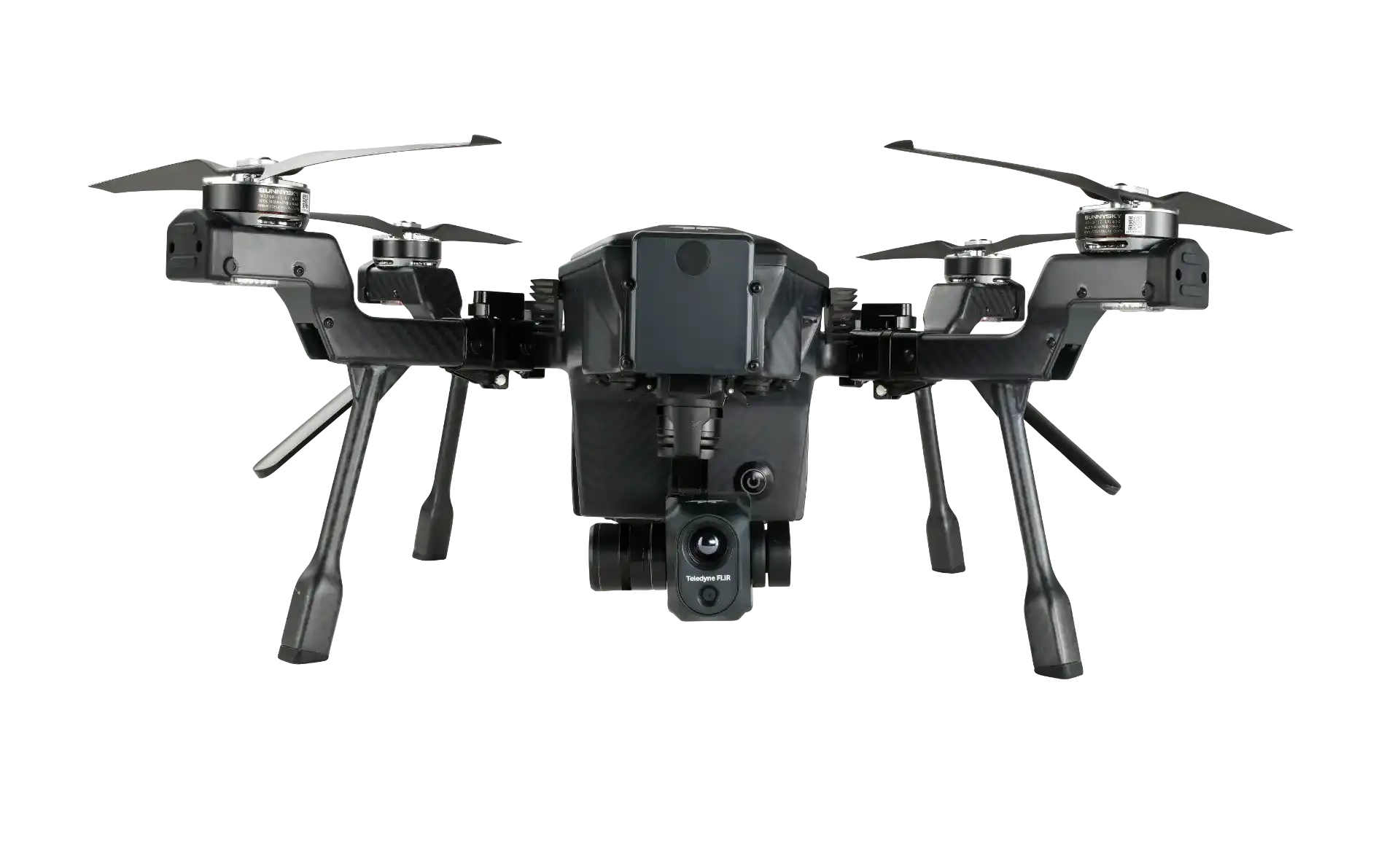
Teledyne FLIR SIRAS Combo
As low as US$9,695.00*

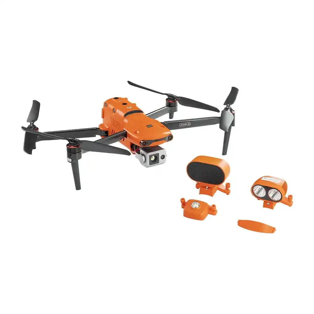
Autel EVO MAX 4T Bundle
As low as US$8,999.00*
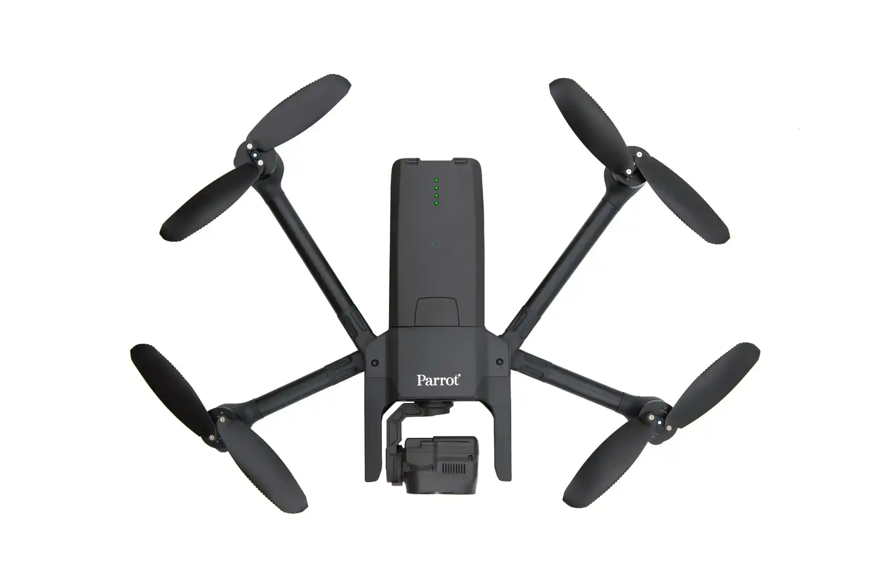
Parrot ANAFI USA
*As low as US$7,000.00
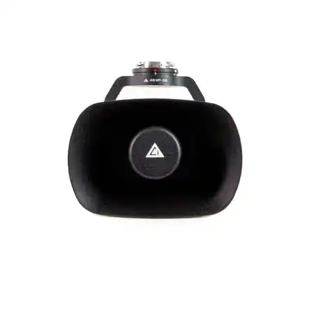
Loudspeaker for Matrice 300 / Matrice 200 V2 Series
*As low as US$2,299.00
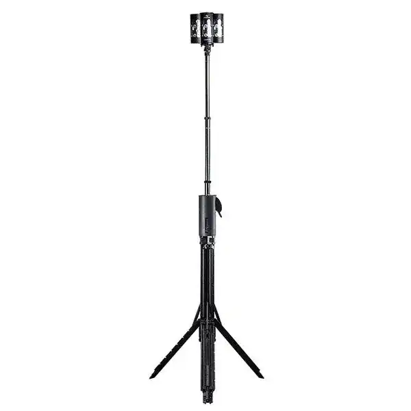
FoxFury - NOMAD 360 Scene Light
*As low as US$2,256.99
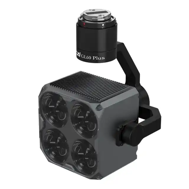
CZI GL60 Plus SDK Gimbal Spotlight for DJI M300/M350 RTK
*As low as US$2,199.00
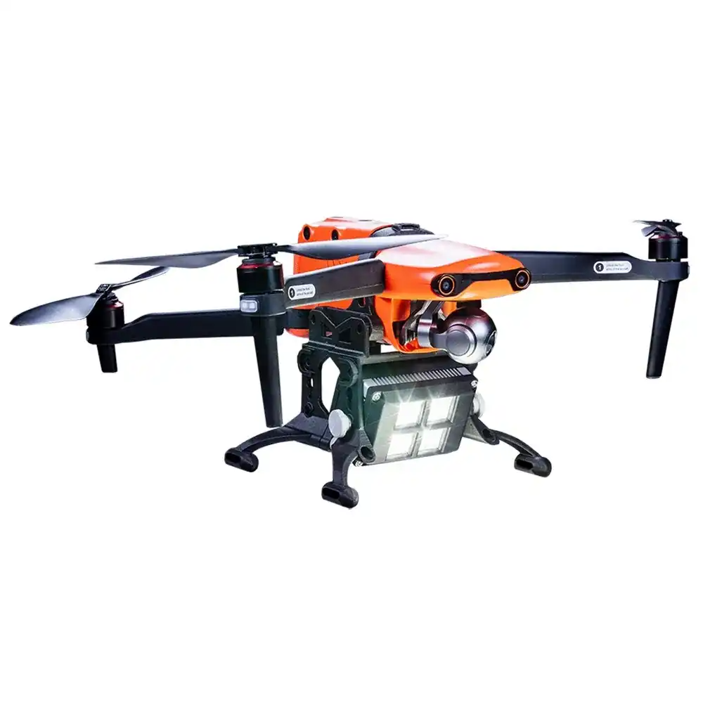
Autel EVO II - FoxFury D100 Exolander Payload Delivery System
*As low as US$695.00
UAV THERMAL EXPERTS
We are industry leaders in thermal imaging drones. As one of the pioneers in thermal drone technology, our team of experts will help you build a custom solution that meets both your budget and needs.

MISSION SPECIFIC SOLUTIONS
We specialize in the development and delivery of cost-effective mission-specific enterprise solutions. All our kits are specially designed, assembled, and individually tested for quality assurance in the United States.

AFTER PURCHASE SUPPORT
Our customer service doesn't just end with your purchase; we go the extra mile to make sure our customers have the guidance they need. As our customer, you will know us by name and can count on us for support whenever you need it.